I think this is another attention grabber...no? :) I'm getting rather good at this!!!
Well, the truth of the matter is....it is mating season in Manateeland! and they are Very active!
I know these photos aren't the best, but it is very challenging to photograph them when they move so quickly, and we are also moving past them at 8 knots! The water was boiling with their activity:)
Not that you can see much of them, lol,.
Now that I have your attention, we will get back to the boring stuff.
Yes, it was sunny today. No, the wind did not die down, but threatened to take us off the water, so high were some of the gusts. The bimini rattled something awful, and the eisenglas whacked and thumped against the frames, on the fly deck. Stressful!
Not only was there 20-25 knot winds, but the water on the ICW was whipped up to white caps, and the river (Indian River) was running about 2.5knots of current. We didn't feel like we made much headway, and because we stopped out designated mileage yesterday, we had miles to make up. It was going to be a Loooong Day!
Long days get broken up by small pleasures, and one of the greatest is seeing Osprey feeding their rapidly growing and demanding young. I love the complex nests and the amazing places they are built....baby on the right.
Bear with me...a few more Osprey...:) I love their coloring...and look at the size of those talons, will you?
Watching them fishing, today, in the high wind, was amazing...the strength in those wings!!!
Fishing....
ok..had enough Osprey??
You can get no real idea of the strength of the wind, nor the chop on the water, but you can see the white caps. This is the Indian River, and we had such a strong current running against us all the time...
Crab pots....grrrrrrrrrrr...This crabber had put his pots so close to, and sometime INSIDE the red and green markers that mark the channel, that we were a bit confined to straight down the middle.
Here is the culprit!!where does his beard end and his apron begin?
We passed by the Kennedy Space Center, on our starb'd side, this morning...We decided not to go there...$50-$60 just to enter!..each!
Some of the bodies of water were so huge, it was hard to recognize it as a river...and lagoon.
Before I get ahead of myself here, I have to go back to just after noon time and tell you that we decided to add some fuel to the tanks. Just 200 gallons, this time, due to pricing.
It is significant to note that this was the first fuel we put in the tanks since we last filled right up at Panama City!!! a loooong time ago, and we have come such a long way since.
So...we made the decision, after looking at fuel prices up and down where we were bound and decided to go into the Titusville Marina. You may be able to see the attendant waiting for us on the dock, just this side of the green mile marker 2...where the red is, in the photo. We went in and turned around facing the entry, into the wind, which was blowing us onto the dock.
This was another thing that held us up and added to our time, today. The Diesel pump too forever to add just 200 gallons....but we did get a US Boat discount and another for giving them a check!..+ tax, of course.
The fuel spill paper had to hold the nozzle open!!
The marina was very pleasant, and this is the entry, with a nice garden and seats looking back out to the ICW.
By the time I got back to the boat, after paying at the office, waz and the attendant had taken the front line off and were pushing the boat back around the corner of the dock so that we could pivot off the last pole, and get underway again...such was the strength of the wind pushing us onto the dock.
You can see where Titusville is, on the left hand side, half way down. We had just come through the causeway bridge and turned to port (left) to get into the fuel dock at the marina. Coming out of the marina, we had to go through the Rail Road bridge, which appears to now be disused.
The Rail Road bridge, just after leaving the fuel dock.
The waterway was littered with little islands with lovely sandy beaches. Makes you want to get off and put your sun brolly up:)
Crossing this large body of water at the top of the Indian River laid us wide open to the wind and current. IT was a battle!
It also didn't help that we had to throttle back to let a couple of fast boats go by, and then contend with their wake...which slowed us down yet again. We averaged 6.5 knots, against this wind and current, with 1700 rpm, which would normally see us doing around 7-9knots.
The top of the Indian River gave way to this short canal, up ahead...and under the bridge.
One problem, which we didn't anticipate...going into this canal...we had to do a hard left turn into the next body of wide open water...shallow, at that...and the wind was just as bad as the last place! aieeee!you can see that we are not making much headway at 6.2 knots.
This little island was at the entry to the canal. You can see the difference in the wind on the water, here...calmer, vs the wind whipped waves further out.
This pelican was sunning itself in the shallows.
Going under some of these 23ft clearance bridges, gives us pause...and then we go for it, but we had the tall aerials down, this time...with about 2 ft to spare!
The current under the bridge was horrid, and fortunately one of the fastboats ahead of us radioed to warn us! We had also dropped speed, coz of the low wake zone, but had to throttle up to get through with the current coming at us.
Now we are in the channel...
Out of the channel...you can see it at the bottom of the screen, here...and a right angle turn left along the Merritt Island National Wildlife Refuge, on the left. As you can see, the water us VERY shallow again, outside of the marked channel.
No kidding!!! the white caps over the top of the sand bars and shallows, just after we turned into the northerly channel again. This is really wind whipped....if you can picture the 25 knot winds through here.
This guy was going pretty fast, but the wind was making him throw a lot of water around.
A long way up the new channel, the country side changed from just wildlife refuge, with it's occasional fisherman who shouldn't have been there, to civilization and all that comes with it. We also entered a channel with more protection on each side...thinner!
Oh the sights you see along the way!!!
Tis blurry coz by now the eisenglas was totally covered in salt spray and I didn't have the right equipt. to clean it...needs lots of fresh water! I guess one could call this a HOUSE BOAT!
Can you make out the fella lying in the sun in front of his RV? :)
This cracked us up...Osprey will find the best nesting places....
TaDa!:)
Right there on top of this house!!
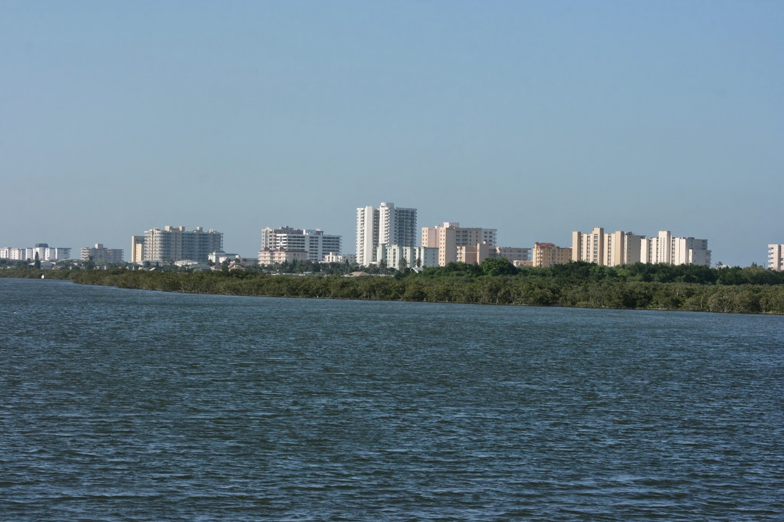
The Lighthouse in out on the Atlantic coast, just across thar!
Here we come...civilization, after so much flat wilderness! and we are tired, by now. The water has calmed a bit, and so had the wind...Daytona, here we are!
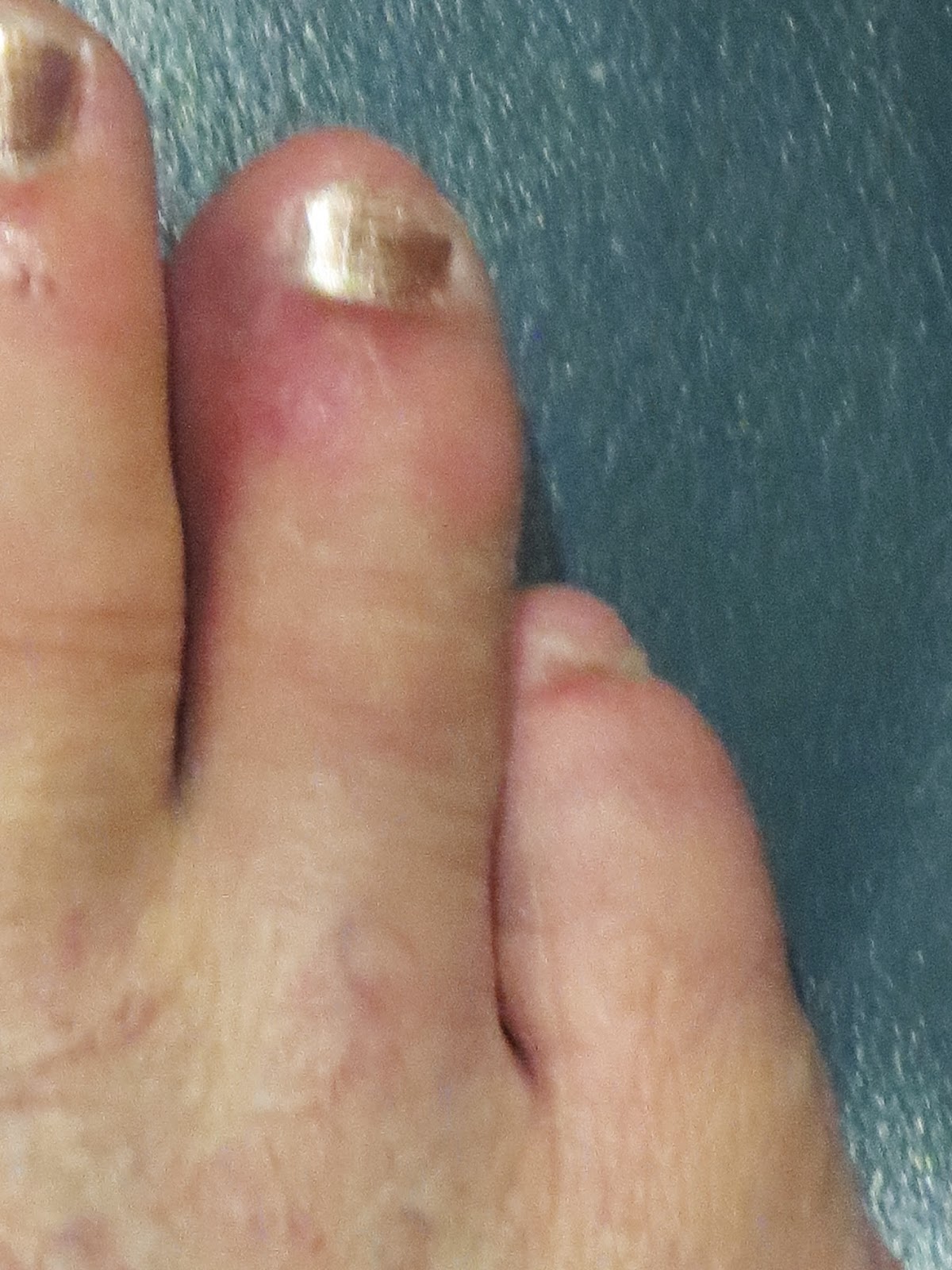
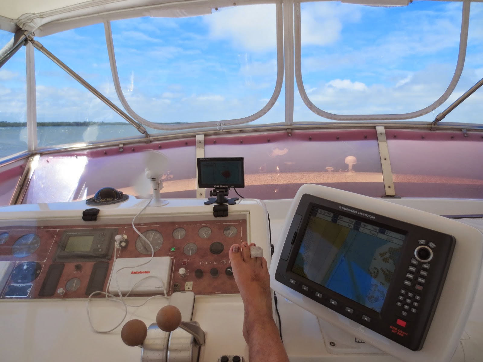
I did tell you, did I not, that I dropped the big white chopping board on my right foot toes, last night?? the board that weighs a ton...is 20 x 12 x 1 inch? That is the #4 piggy, all bruised, and I suspect, broken. I have had pain in my life, but this was some of the worst!! Right across the top joint!! This photo was after having it attached to it's neighbor, piggy #3, for the day...and...
SOMETIMES being up on the dashboard, during the day....had to record this !
This part of the journey was actually really interesting...all those little islands out there...
...and people in the strangest places...like...nowhere!
you can actually see the salt crystals on the plastic, here...these 'homes' were mostly double wide trailer homes and the odd caravan and RV. Lots of pontoon boats, too!...spells, retirement community!Ya thunk they could have built their house on the water???
It was really very pretty along these islands...that is the mainlaind on the right...well, it was out left, this is looking back, of course...and I now had the rear door open because the wind had dropped some.
Coming into Daytona...bars on the waterfront..
another low bridge...we made it with 2 ft to spare!
This bridge wouldn't have moved, had we hit it! It might have opened up for us, but if we didn't need the opening, the fine would have been hefty!
it us now going on six pm..and we are exhausted and hungry.
Going under our last bridge for the day, we spied this rookery, all getting settled for the night...
Pelican and Egrets all in one place...
FINALLY!!! Setting down the anchor, but on the left side of the white line (Channel). Not sure why the boat is on the right...computers!!
and we are in 8.8ft of water..phew!
And to cap it all off, we sat on the fly deck and watched the sun set and ate our German Keilbasa, left over cole slaw and broccoli. It was good! anything would have been good, frankly. Pooped people, we were...and are. Time for bed!! no rush in the morning. If we don't get up and go early to catch a bridge opening, we will do it after rush hour. We only have 50 miles to go tomorrow. We had to play catchup today, after losing a half day motoring, and we don't want to do that too often...to exhausting.
We did eight hours, and around 70 miles today. A lot of time was wasted going slow through passes, channels and filling with fuel. Doesn't matter...there is always tomorrow! Ciao!


.JPG)

.JPG)
.JPG)
.JPG)
.JPG)
.JPG)
.JPG)
.JPG)


FYI you are on the left side of the channel, look at the top left corner where the North icon is pointing down so South is top... switch it 180 degrees and you will be on left side.
ReplyDelete;)
Enjoying the photos....