Having spent the night parked up in the middle of the Marshes in Georgia, and Warren kept getting up to check (3 x I think) that we still had a firm hold on the bottom, we were happy to get going again. He checked the tide because we needed to leave on the rising tide vs the leaving tide, with so much shallow water to come and small channels to navigate.
We are navigating a series of Rivers and creeks, as I said, with some larger than others. The larges, the Nassau and the Cumberland Rivers, really are something to behold. BIG!
What is surprising...or perhaps not, is the color of the water. With so many marshes around, I guess you would expect the water to be brown...like this, below! This is our wake..really the only way to show you how colored the water really is.

It was drizzling when we got up, in the morning, and it rained and drizzled off and on all day...mostly on! We have a leaky bimini (top), in places that are most inconvenient...like right above Waz's head, at the wheel, so we stuffed yellow rags into those places to keep the charts and books dry, as much as possible. I made numerous trips up onto the front of the wheel station to wipe water off the plastic, outside. I have to open first one side of the zipper, then the other, in order not to let the wind blow everything away, for starters, but also so that the water doesn't go everywhere. We don't have wipers up there...that's me! I consider it good exercise. Another thing about wet days...it means I get to clean!! well, if that's what you call wiping drips from everywhere. As you can see, we have a tarpaulin covering the table and cushions...which are old and not really up to getting wet all the time. Preservation is the key!

We saw this shrimp boat from a great distance, as you seem able to do in these parts. I think it is because it is so flat, everywhere. It was anchored for some reason...and we moved on...

Today we noticed that the birds were working in flocks, more than any time we have seen. These dippers or black headed gulls were a constant behind the boat, all day. They would peel off and join the back of the flock, time and again, diving and dipping into the water to 'fish' what our wake was throwing to the surface in the choppy seas.
.JPG)
As it turned out, they went around the red buoy about 5 mins before us, so it worked out for the best. This boat turned into the ICW, which kind of surprised us...where was it going??? We don't know, and we haven't looked it up ...yet.

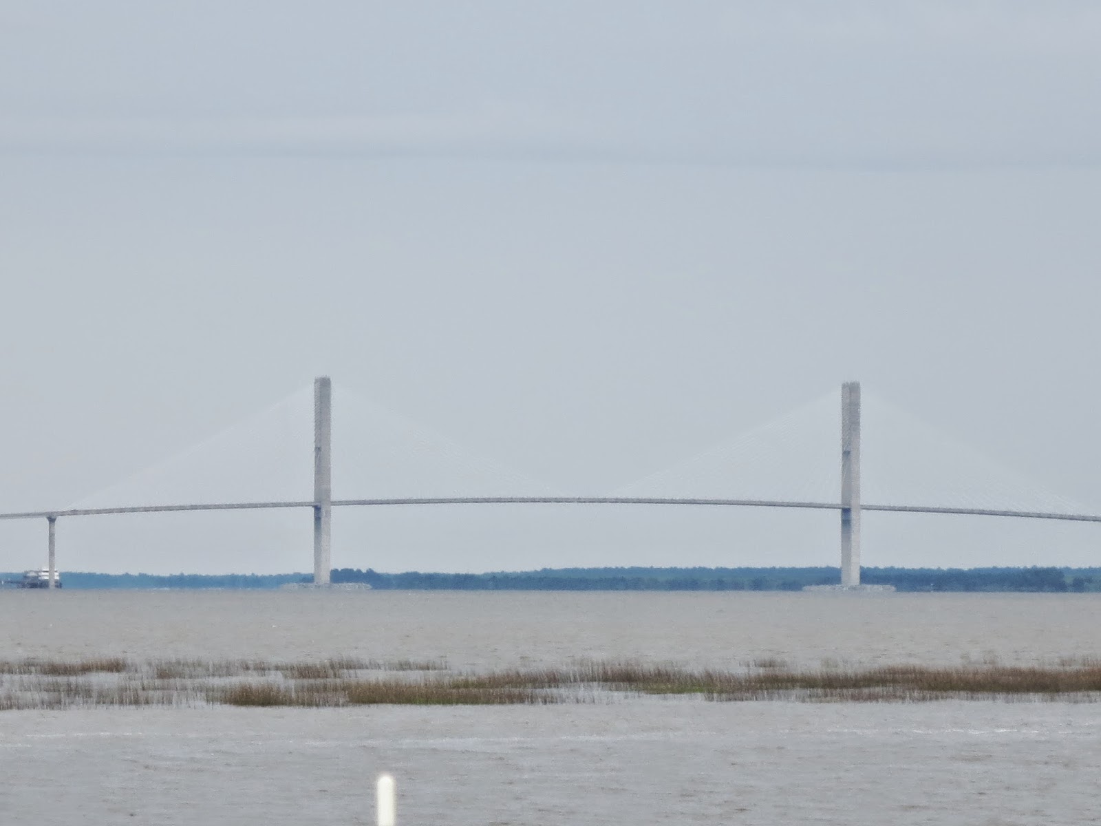
We left the anchorage at around 8.30, so here we are at almost 10am, turning left (ok.we cut the corner..WAZ cut the corner!) around the red marker. The purple triangle at the bottom of the screen is the cruise ship.We turn at the red buoy in front of us, at a right angle and continue up the Cumberland River. To turn right, would have taken us to the Atlantic Ocean, which never seems far away, and we get glimpses of as we turn away from it to continue up the ICW.
You can see how deep the water is, for the most part. I love having 60 feet under me.
I do have to say, thought, that I am much less of a Nervous Nellie than I was! Progress mes amies!

The water tower...well, one of two towers on Jekyll Island. This island didn't look too hospitable, but there were a few buildings there.
We came up the river a short way, in rather turbulent conditions, I have to say...we rocked and rolled a bit with the strong currents converging in the washing machine of the river, and then turned up this channel going north, along the UCW, past Jekyll Island. I love the names given to the other islands and Keys...

From a distance...picnic tables under lovely large trees

Yes, we took the shallow, narrow looking exit from Jekyll Sound, along the Island, to the right...Surprisingly, there was plenty of water at the high tide we were travelling on. Waz had times all this right! We had a four hour window to negotiate all the shallow stretches, and he had done it again! good planning wins the day! Lots of Dolphin again today!

It amuses us when we find civilization in the middle of seemingly nowhere...and there is lots of nowhere out here!

The Jekyll Island Marina was basically one long dock in the middle of a fast moving river, just before a bridge.

This looked like a resort, but we haven't verified that either...pretty, though, with lots of lovely homes for neighbors.


We find the public facilities in place for fishing, to be quite startling. LOTs of people fish, and I guess this is sun protection, though today it was wet protection! Kind of fancy, don't you think?

and yet another red buoy to make yet another left 90 degree turn around. Lots of water with about 60 feet below us here, also.:)


Here it is on the chart, just as our green triangle boat is making the turn from the main shipping channel at Brunswick..you can see that channel turn right, going out to the ocean.

We looked right and our eyes followed the channel out to sea...love the light house!:)

Along the way, we had cause to use the Range markers...they help in lining up your channel, when the posts (red and green) appear to be a long way apart...and they usually are!...Sometimes, the range markers have literally fallen into the marshes! fat lot of use they are...and we could have used this one!!!


I had resisted putting the garden out, all day, but succumbed to the idea that some pure rain water might be good for them.


It wasn't until 8.30pm, and waz was reading the latest weather news, that he announced that there was a Flood Watch for the Darien River...which we were now going up!...of course, this is all after the fact. What might have given us a hint, was all the reeds in the water in large rafts! The river was very swift, with us going from almost 10 knots, with the tide, to going up the Darien River at around 6 knots, against the outgoing tide. We were getting to our destination just in time!

Look carefully at the map below....See the yellow signs with little anchors? Those are designated safe anchorages. At the bottom right of the map shows the Little Mud River...we were on that course. Yes, it was narrow, just as it looks on the map! See the dotted line? That is the ICW. Can you see where the dotted lines end? in the middle of the map...that is where we turned off the Little Mud River into the Darien River..got that? This river is a bit tricky, if you don't closely observe the signs posted. First up, we had to reverse the red and green. The rule of Red, Right, Returning, works here...so all red triangle posts were now on or right, and green posts on the left. Also, the outside of the river bend is usually the deepest, so you need to go wide...MOSTLY! beware, though, sometimes the outside of the river is also VERY shallow! follow the signs. Well, we came to one corner, and thought we were ok...but we were actually cutting the corner..not by much, but the depth gauge was now reading 7ft, and going shallower by the second..ooops! Go deep!!!! fortunately we didn't get into strife, but it could have been so easy to...there was no red triangle to tell us not to go there! hmm...they need to put one in that spot..we will have to remember that on the return journey. It is 10 miles from the ocean to the little town of Darien, where we are availing ourselves of the free dock for 48 hrs!:)
Yes, the green arrow Waz put at the bottom of the page is where our map finished!! fortunately the chart plotter had the whole of the course to follow...or more strife! lol.


Cracks me up how you see things in the middle of the marshes, but they are actually on water...we just cant see the water or the path to it!


These tall poles were not easy to get a rope around!


We tied up and decided to go for a long walk. It is stressful driving all the way in the rain, lots of turbulent currents, shallow channels and watching the chart plotter all the way, so we need a stress buster. Walking is great. We tried to find the supermarket, but failed by about 1/4 mile, it appears. In the meantime, we managed to pretty much scout out the places to go later.
On the way out of the park where we are docked, we found a fella selling shrimp from his pickup in the gas station parking lot...he said he would be there till 5pm and it was now 3.30pm. WE came back and bought a conveniently filled 2 lb bag of jumbo shrimp from him.
$20!

I cooked a little Fettucine (which we don't normally eat..but this was a special occasion!), and sautéed the shrimp in butter and garlic with fresh basil leaves from the garden. I took the shrimp out of the pan and put the baby asparagus (from the market at St Augustine) into the left over juices to cook al dente. The shrimp went back into the pan to finish cooking and the pasta was ready...Does that look good or what?:)

We finished our meal with some fresh strawberries and cream. So decadent! but so good:)
No comments:
Post a Comment