 I like to turn around when we are leavng a place and take a photo. This is the ICW end of the Anclote River looking back
 ...and this is looking forward towards the ICW.
 You know you are in Florida by the large numbers of retired folks hanging out EVERYWHERE! This was at 11.30am on a tiny strip of sand!
 The mangrove swamp alongside the skinny channel to the ICW
 FREEEEDOM!!! but wait...MORE skinny channels and more SHALLLLLLLOWWWWW waters. Sheesh. If you deviate from the chosen and marked path (between the markers) you are likely to find yourself in shallow trouble. We have been there already...twice, so we wont go there again, if we can help it.
The ICW tracks along the inside of the Barrier Islands between the mainlan Florida and the Gulf of Mexico in relatively safe and sheltered waters. Although, the water inside can cut up in a flash and be very choppy.
 The first and last bridge to date that opened for us. We marked time for 15 mins while the bridge remained closed for regular car traffic at the Dunedin Causeway. They were doing maintenance, so the men had to unplug etc before they could raise the middle span.
 Spectators to the life on the ICW
 This is one of the Marina at Clearwater where Robyn and Dave were stopping for a day. We kept going.
 You know you are in Florida when the skyline is populated with condos!...and a dirigible in the air.
 These youngsters had to cool their heels while we ambled through the narrow bridge opening. They then sped past us creating quite a wake.
 Typical home on the water.
 As you can see on the chart, there isn't much land between the two bodies of water. That is the Gulf on the right hand side. Our boat is the green arrow, and we are coming to a bridge. Most of them we can go under with a foot to spare.
 A quick glimpse of the ocean through a rare gap in the homes. This lot is for sale!
 Homes behind the lush mangrove swamps
 We have just come under one of the low bridges. I always hold my breath when we go directly down the middle of the span, as that is the highest point.
 We are nearing the end of the day and feeling it is time to get some rest. Another hour to go to find our chosen anchorage for the night.
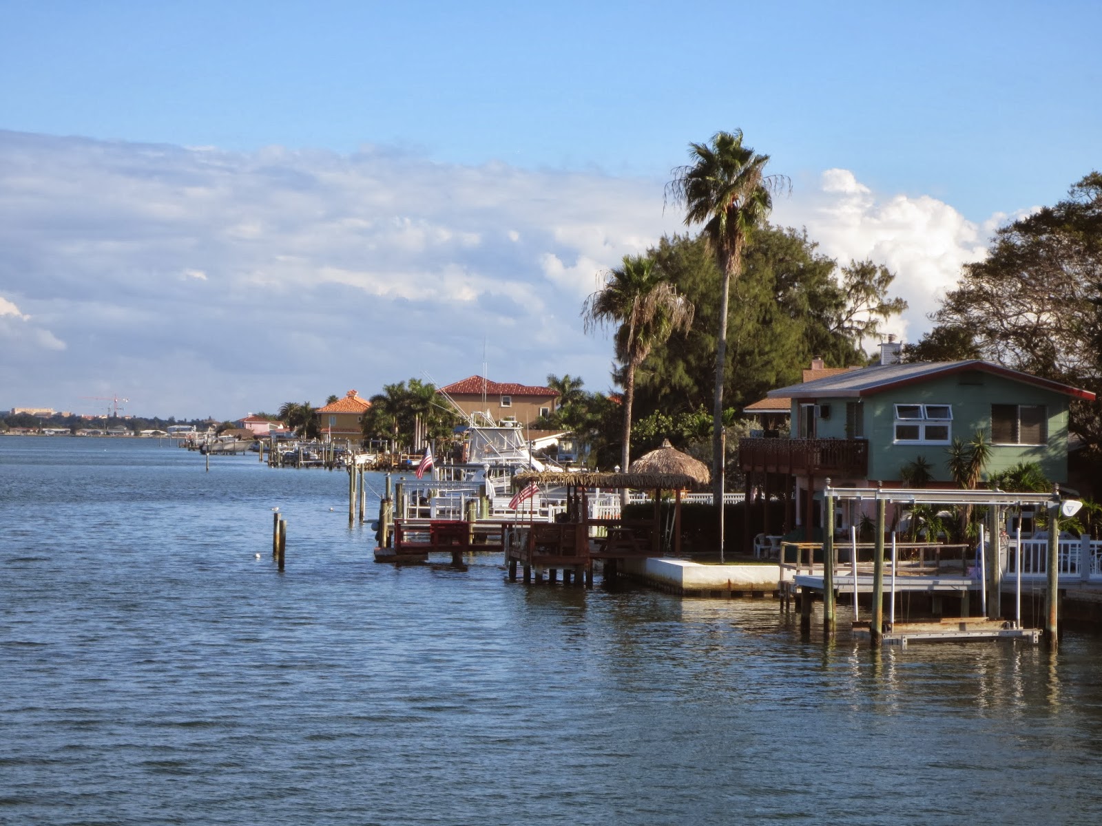 Homes along the narrow channel that you can see on the chart above.
 Another bridge....
 This graphic is on the side of the Treasure Island bridge.
 and here is the bridge. See what I mean about going right down the middle??
 Our anchorage for the night was in this bay surrounded by condos and homes such as those below.
 The end to a lovely day.
 Settled in for the evening at 4.20pm.
At the top of the screen you can see the large bay we chose for our anchorage. We stuck to the southerly shore line where it was 6.6ft.
Tired, we turned in early and slept till 3am. Waz got up in the night to check that we had remained anchored in place, and came back to bed to find me awake.
Too much sitting isn't good for my bad hip, which is what had woken me. We slept in and woke around 7.30am. this morning.
More on that in the next post.
No comments:
Post a Comment